剣山
Mt. Tsurugi, Shikoku
Elevation: 1955m
Prefecture
Tokushima
Distance
5 km
Elevation Change
➚ 500m ➘ 500m
Time
3 Hours
Difficulty
2/5
Accommodation
Mountain Huts
Overview
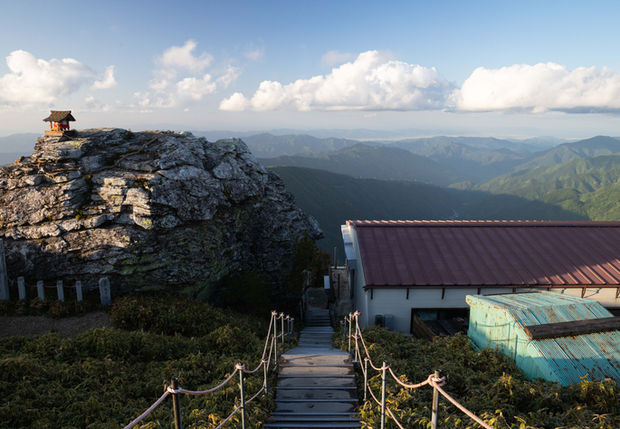
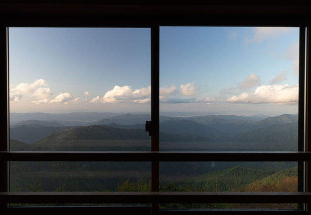
Mt. Tsurugi is a popular mountain on the island of Shikoku, it's the 2nd highest mountain on the island and part of the hyakumeizan. It features an enjoyable single-seat chairlift that takes visitors up to within 40 minutes of the peak. There is also a trail if you prefer to skip the chairlift. The peak contains a mountain hut if you wish to stay the night, and boardwalks to guide people to the various viewpoints. This guide includes the neighbouring peak of Mt. Jirogyu, which provides amazing views and a nice break from the man-made infrastructure. If you wish to extend this into a multi-day hike, you can continue along the ridgeline towards Mt. Miune.
Access
Car: If you're using a car you can just park at the chairlift located here. Note, the mountain roads in Shikoku are notoriously windy and narrow, passengers may require motion sickness pills.
Train and Bus: You'll need to take 2 buses to get to the chairlift, with the 2nd bus only operating on weekends from April to November. You'll find the bus times on Google Maps, here's a summary with links to each location:
Sleeping
Mt. Tsurugi features a nice mountain hut with dorm rooms and private rooms available. They offer a fantastic dinner and a discount if you take the chairlift. You can view their prices and more information on their website. Free camping is available next to the top of the chairlift located here, there is no drinking water available there, it has space for about 20 tents surrounded by bamboo grass.
Maps
GPS map: outdooractive.com
Trail Description
The trails around Mt. Tsurugi are clearly marked and well-maintained. The trails heading across the ridgeline to Mt. Jirogyu are very beautiful, the terrain is quite easy so will be suitable for all skill levels. If you wish to skip the chairlift, this will add an extra hour onto your ascent. You can find drinking water about 20 mins from the top of the chairlift, check the maps for the exact location.
Elevation Profile

Weather and Seasons
Useful links
Late spring, summer, and early autumn are the best times for this hike. Although summer is hot in Japan, at 1900 meters Tsurugi maintains a comfortable temperature. The chairlift is closed for winter, from December to April.
Gallery

Difficulty: 3/5
Hiking Distance: 5 km
Time: 3 hours
Elev. gain: 500m
Prefecture: Tokushima


