Mt. Aoba
青葉山
Elevation: 693m
Prefecture
Kyoto/Fukui
Distance
4 km
Elevation Change
➚ 600m ➘ 600m
Time
3 - 4 hours
Difficulty
2/5
Accommodation
Guesthouses
Overview
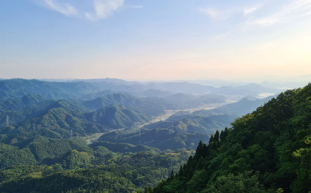
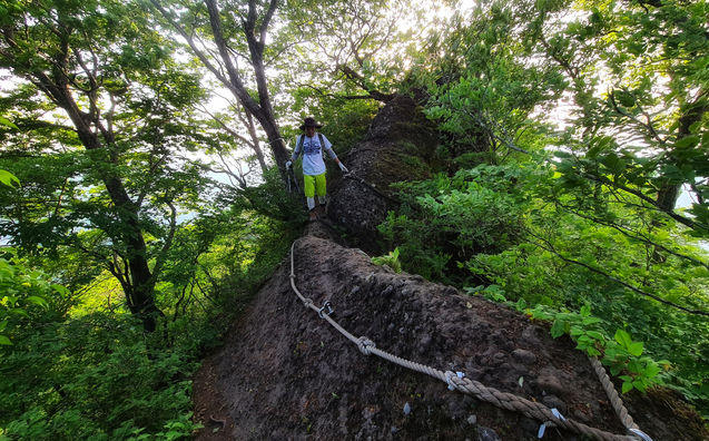
Mt. Aoba is a volcanic mountain located in northern Kyoto, right on the border of Fukui prefecture. It's a small but prominent mountain rising up from the sea with magnificent views over Wakasa Bay and the town of Takahama. Mt. Aoba has two peaks connected by a ridgeline trail with fun terrain that includes climbing on ladders and chains. It is less developed than most hiking destinations, so can be quite difficult to access without a car, but the surrounding area has a lot of attractions that make it worthwhile to rent a car for the weekend or even a day trip.
Access
Car
There are two trailhead options, both with parking available, simply follow the Google Maps links below.
Trains/Busses
You'll need to reach either Matsuno-odera station or Aonogo station, then catch a taxi or walk to the trailhead. The Matsuno-Odera trailhead is a 60min walk and the Aonogo Trailhead is a 40 minute walk.
Google Maps
Maps
Trail Description
If you're starting from the Matsuno-Odera temple then you will need to walk up the steps and into the temple grounds to get to the trailhead, there will be signs directing you through the temple area so just keep an eye out for the kanji, it's pretty easy to follow. From the temple to the first peak it's only about 1 hour, and then another 30 mins to get to the second peak. The timing is similar from the Aonogo trailhead, you will find a small carpark and signs there too. You will get the most views if you start from the Aonogo trailhead, if you do the whole loop you will have to walk about 50 mins on the road.
Elevation Profile

Weather and Seasons
Late spring, summer, and autumn are the best times for hiking Mt. Aoba. You might find snow and ice during winter, from December to March, which can be dangerous in some sections.
Gallery
Useful links

Difficulty: 2/5
Hiking Distance: 4 km
Time: 3 - 4 hours
Elev. Change: ➚➘ 600m
Prefecture: Kyoto


