The Best Day Hikes Near
Kyoto & Osaka
Overview
Kyoto and Osaka are major destinations for expats, students, and travellers, but most of us don't own a car, so here's a list of the best day hikes accessible by public transport. This list is in no particular order as each hike offers something different, but it's worth noting that these hikes have been carefully selected because for many people, not all hikes are worth their time and effort. So read on, for this is not a generic top ten list! There are a lot of mountains in Kansai, so we'll update this page if new contenders are found, this list is showcasing our favourite Kansai hikes after exploring the region for many years.
Weather & Seasons
Generally speaking, the best seasons for hiking are mid-spring, summer and autumn. These seasons offer the best scenery as the forests are full of life, with vibrant green landscapes during summer and colourful mountainsides during autumn. Winter can offer some beautiful snowy hiking, but often requires extra gear and knowledge.
The Best Winter Hikes
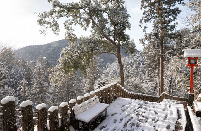
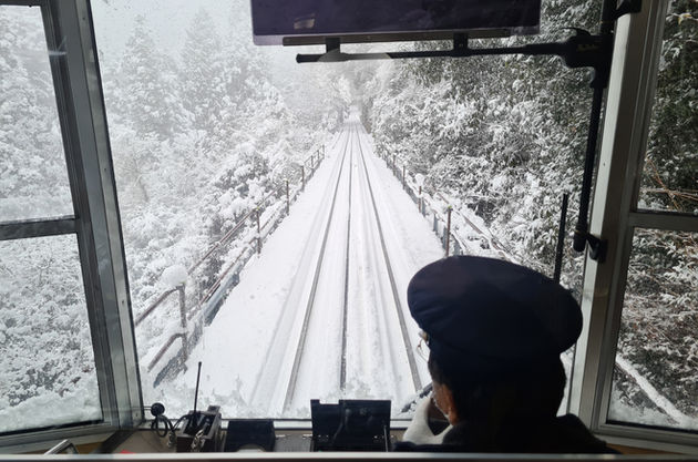
For easy snowy hikes, Kurama and Mt. Hiei can offer some of the most beautiful scenery with very little effort, anyone can do these hikes. Fresh snow makes the trails and temples look absolutely amazing, due to their modest, easy terrain they're perfect for snowy days without any special gear required, and Mt. Hiei has a nice cable car that looks gorgeous on a snowy day. If you're experienced and want something more technical, the Omine and Bunagatake hikes will have the most snow, so require extra care and planning.
The Best Spring Hikes
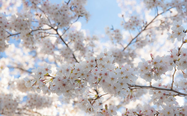
Hands down the best spring hike is Yoshinoyama if it's during the peak cherry blossom period, which usually occurs in the first week of April. Timing is key, so keep an eye on the cherry blossom forecast and try to be spontaneous with your planning. The main paths get very busy, but there are plenty of side trails among the cherry blossom forests to escape the crowds. Other hikes ideal for spring are low elevation trails such as Umanose, Jingo-ji, and Daimon-ji.

The Best Summer Hikes
Summer is notoriously humid and hot in Japan, but some hikes can be great for warm days. Yatsubuchi no Taki, Mt. Omine, the Konze Alps, and Jingo-ji all feature nice clean rivers where you can swim after or during your hike.
The Best Autumn Hikes
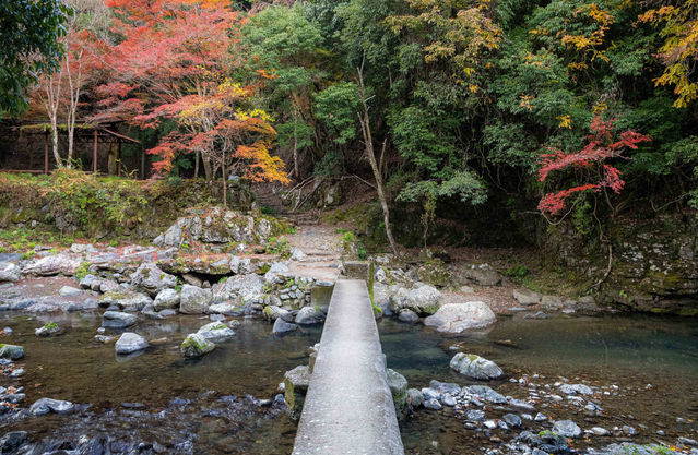
Autumn is often considered the best season for hiking in Japan due to the mild temperatures and colourful autumn leaves. The best hikes for autumn colours are the Jingo-ji trail and Yatsubuchi no Taki.
The 10 best day hikes near Kyoto & Osaka
Nara
↠ Mt. Omine
↠ Yoshinoyama
Shiga
↠ Bunagatake & Yatsubuchi no taki
Kyoto
↠ Mt. Hiei
↠ Daimonji
Kobe
↠ Umanose

Autumn colours along the Jingo-ji trail
Accommodation
Kyoto and Osaka are very popular destinations, so the best accommodation can often be booked out months in advance. Book early to avoid high prices and ensure you get a nice location.
The best prices are usually found on booking.com
Useful Links
Trail Summary
Elevation Gain
➚ 950m
Mt. Omine is a sacred mountain in Nara prefecture and can be accessed by Dorogawa onsen. Mt. Omine is somewhat controversial for having UNESCO Work Heritage status as it also maintains an 800-year-old ban on women, due to religious tradition. However, there are other beautiful trails in the same town and the surrounding mountains offer equally impressive views. The name of the peak is Sanjogatake and it can be completed in a day, there is also the option of a larger loop trail if you have enough time. You can read more about the mountain's cultural history on Wikipedia. In regards to the ban on women, hopefully this will change in the future, I would recommend directing your complaints and protests to UNESCO as they will be a more effective avenue than arguing with the Shugendo priests who occupy the mountain.
Gallery

Trail Summary
Yoshinoyama is a mountain town in the south of Nara prefecture, the mountain is famous for its cherry blossoms (sakura), featuring thousands of cherry trees, hiking trails, and temples. Hiking here during the peak cherry blossom period is an incredible experience unlike anything else in the world. It does gets very crowded during this time, but there are many trails that detour into the forest so it's quite easy to escape the crowds and explore the mountain. The summer is also beautiful as the vibrant and lush green landscape provides an adventurous atmosphere among the many temples and shrines. The town is also quite beautiful, filled with charming shops, ryokans, and restaurants.
The hiking here can be as easy or as difficult as you like, if you stick to the normal paths and only go to the main viewpoint, then you could finish in 4 hours.
Elevation Gain
➚ 400m - 700m
Gallery

Trail Summary
Elevation Gain
➚ ➘ 400m
The Konze Alps are a small group of rocky mountains in Shiga prefecture. The loop trail which takes you over these mountains is an easy day hike that offers a variety of terrain, beautiful views, and a nice waterfall. The terrain is unique and features large sandstone formations that are perfect for climbing and scrambling. The sandstone serves as a beautiful contrast with the lush green fauna that covers most of the area, and there is also a campground at the trailhead in case you want to spend the night. During summer you'll find people swimming in the river and camping along the river banks. It's a super fun hike that stays somewhat under the radar for expats, but it's quite popular with locals so the weekends can sometimes be busy.
Trail Summary
Elevation Gain
➚ 600m
Elevation Gain
➚ 750m
Yatsubuchi no Taki is an exciting waterfall hike that leads up to Mt. Bunagatake and offers nice views over Lake Biwa. Easily one of the best hikes near Kyoto, the hike is famous for its 8 waterfalls featuring chains, ropes, and steps bolted into the rock so you can climb up the riverbed. Mt Bunagatake is 1,214m tall and an optional part of this trail as there is a nearby viewpoint that offers a similar reward. The end of the hike takes you through the town where you can stop off at an onsen.
Trail Summary
Elevation Gain
➚ 260m
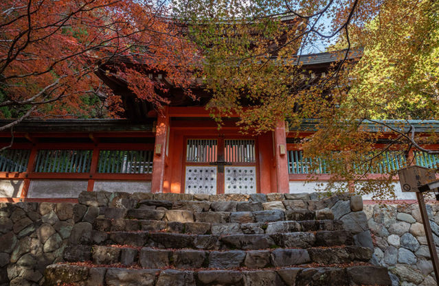
Takao is a small mountain village in northwest Kyoto famous for its stunning autumn leaves, beautiful river, and the impressive Jingo-ji temple. Jingo-ji and Takao have some of the best autumn leaves in Kyoto, the temple is about 1200 years old with incredible architecture and features small clay discs (Kawarake) that you throw off the mountain to rid yourself of bad karma. The hike is most commonly done by catching a bus to Takao and then hiking to Hozukyo station, but it can also be done as an out-and-back hike from Hozukyo station if you don't want to bother with the bus.
Although autumn is the most popular time to visit, it's also amazing during summer, with lush green trees and some small swimming holes along the river.
Elevation Gain
➚ 600m
Trail Summary
Elevation Gain
➚ 260m
Kurama is a mountain town just north of Kyoto city and is easily accessible by train, it shares its popularity with the neighbouring town of Kibune with an enjoyable hike connecting the two towns. Although it's outside the common tourist radar, Kurama is famous among locals and expats for its onsen, mountain temples, and the Kurama Fire Festival. The town of Kibune is famous for its beautiful streets lined with shops and restaurants, which set up dining terraces on the river during the summer. The hike is one of the best winter hikes in Kyoto, it's quite easy and looks amazing in the snow, the path features numerous lanterns and the Kurama-dera temple is at the top. It's also worth mentioning that many travellers consider the Kurama Fire Festival to be the best festival in Japan, I've included some photos below and you can read more about it here.
Trail Summary
Elevation Gain
➚ 720m
Mt. Hiei is the most recognisable mountain surrounding Kyoto city, it shares its peak with the neighbouring prefecture of Shiga and overlooks the beautiful Lake Biwa. On top of the mountain is the Enryakuji temple complex, it's one of the most important monasteries in Japan, with a rich and violent history. The most notable event occurred in 1571 when the warlord Oda Nobunaga grew tired of the warrior monks challenging his power, he stormed the mountain, burning all the buildings and killing everyone. The death toll was over 1000, including monks, women, and children. You can read more about the siege and Nobunaga here.
There are two hiking trails for Mt. Hiei, one from the Kyoto side and one from the Shiga side. This description focuses on the Shiga trail as it's only 30 mins from Kyoto by train and has less disturbance from the cable car. It's also popular for people to start on the Kyoto trail and end on the Shiga trail. Entry to the temple complex costs ¥1000.
Trail Summary
Elevation Gain
➚ 230m
Mt. Daimonji is a popular small hike in Kyoto and offers perhaps the best view of the city. It's a great place to watch the sunset and the trailhead is located next to the beautiful Ginkakuji Temple (Silver Pavilion) and the Philosopher's Path. The actual peak is 10 mins passed the main viewpoint and provided a nice view of southern Kyoto, while the main viewpoint mostly shows northern Kyoto. You can even see Osaka!
Trail Summary
Elevation Gain
➚ 332m
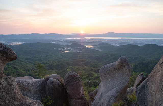
The Umanose trail is a wonderful small hike in Kobe city, it offers incredible views with not much effort, and an exciting rocky section with a bit of exposure, chains, and steep steps carved into the rock. As the hike only takes a couple of hours it's a great addition to a day trip in Kobe. This one can be pretty hot during summer but it's perfect for spring or autumn.
Gallery

Trail Summary
Elevation Gain
➚ 940m
The Mt. Rokko trail is a popular hike in Kobe that has great views over the city and Osaka Bay. The hike itself has interesting and varied terrain which includes mellow forest trails, steep steps, waterfalls, and some mild rock climbing. It takes about 3 hours to reach the peak of Mt. Rokko and the best option from here is a nice hike down to the famous Arima Onsen, a picturesque town nestled between the mountains. Arima Onsen is quite charming, it's one of the oldest onsen towns in Japan and was founded about 1300 years ago. Although it can get crowded, the Mt. Rokko to Arima Onsen hike is very enjoyable and easily accessed via public transport.
Gallery


