燧ヶ岳
Mt. Hiuchi
Elevation: 2356m
Prefecture
Gunma
Difficulty
3/5
Distance
9 km
Elevation Gain
850m
Time
6 Hrs
Accommodation
Huts & Campsites
Overview
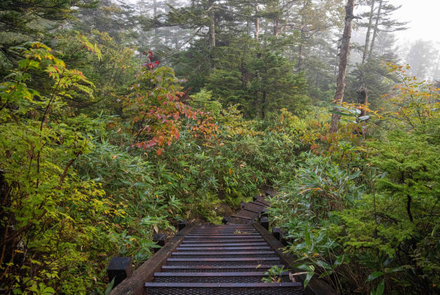
Mt. Hiuchi is the highest peak located in Oze National Park. It features a beautiful mix of lush forests, stunning views, and the boardwalks that Oze is known for. Due to its distance from Tokyo and the natural attractions found in Oze, it's commonly completed as part of an overnight trip with lodges and campsites located on Lake Ozenuma. The most popular day-hike option is a trailhead located on the northern side in Fukushima prefecture, while people aiming for an overnight trip usually come from the southern end in Gunma which also has a direct bus from Tokyo.
Oze National Park is a vast wetland of marshes, old natural forests, and beautiful mountains. Oze features 3 mountains that are included in the Hyakumeizan: Mt. Shibutsu, Mt. Hiuchi, and Mt. Aizu-Komagatake. Both Shibutsu and Hiuchi can be hiked as part of an overnight trip by sleeping at one of the mountain huts.
Access
Car
The drive from Tokyo to Hatimachi Pass will take about 3 hours. There is a car park located next to the trailhead at Hatomachi Pass, however, to manage traffic congestion it's not accessible during the summer & autumn hiking period. Instead, you'll need to park at the Oze Parking Lot in Tokura and catch a small shuttle bus. The first bus leaves at 5am and takes 20 mins to reach the trailhead. Tickets can be purchased at the car park's vending machine and cost ¥1000.
Public Transport
There is a highway bus from Shinjuku to the Oze Parking Lot in Tokura, which costs around ¥4000. Another option is to continue on to the Oshimizu parking lot, which is often used for hiking Mt. Hiuchi.
Sleeping
The Ozenuma Hutte offers a wide range of different rooms and also allocated space for about 30 tents, it's the best option if you're starting from the Oshimizu trailhead.
If you're also planning to hike Mt. Shibutsu, then the Miharashi Campsite is located between the two mountains.
Maps


Detailed Hiking Map: Amazon.com
Online Hiking Map: Yamap.com
Weather and Seasons
The peak hiking season for Oze is from May to October, snow will hang around until June and begins falling again in mid-October. The summer weather is beautiful with daytime temperatures about 8 degrees cooler than Tokyo. The autumn leaves reach their peak around the end of September and last until mid-October, which is also the busiest time of year.
Useful links

The hikes
Trail Description
The Oshimizu Trailhead
GPS Hiking Map: outdooractive.com
Time: 10 hrs
Distance: 18 km
Elevation change: ➚ ➘ 1200m
The hike from Oshimizu takes you through the forest and out onto Lake Ozenuma where you'll spend the night at the Ozenuma Hutte. Reaching the hut will take about 3 hours from the trailhead, the trails are well-marked and well-maintained. The next day you'll ascend Mt. Hiuchi in the early morning, and loop around the lake on your way back to the Oshimizu trailhead. Another option if you're camping is to leave your tent behind at the hut and collect it on your way back down, this will save you some energy and make it easier to race up there for the sunrise.
The Miike Trailhead
GPS Hiking Map: outdooractive.com
Time: 6.5 hrs
Distance: 9 km
Elevation change: ➚ ➘ 850m
The hike from the Miike trailhead starts by taking you along a trail that behaves like a creek bed when it's been raining, so if you've had rain during the night, much of the trail will be flowing with water. It's not a big problem in terms of slippery rocks or anything, but be prepared for wet shoes etc. After 45 mins you'll reach the marshland which features small ponds and boardwalks. It will take a little over 3 hours to reach the peak from the trailhead, and a little under 3 hours to get back down.
Elevation Profile

The Oshimizu Trailhead

The Miike Trailhead
Cautions
Altitude & Weather
Bears (rare)
Gallery

Difficulty: 3/5
Prefecture: Gunma
Time: 6 Hrs
Distance: 9 km
Elev. gain: 850m
Related Articles


